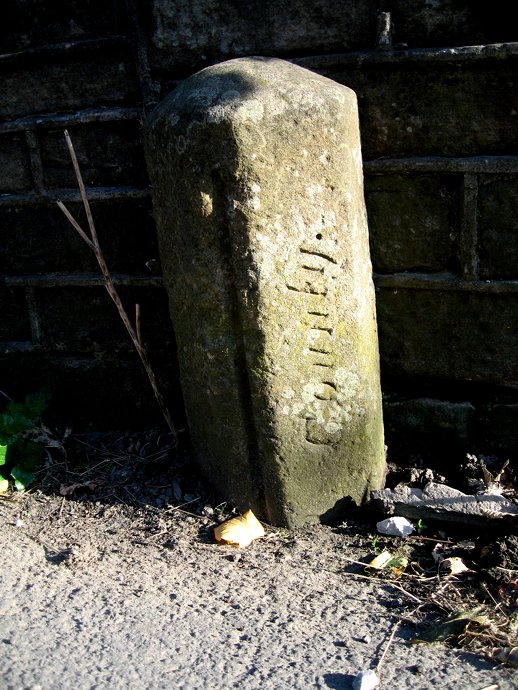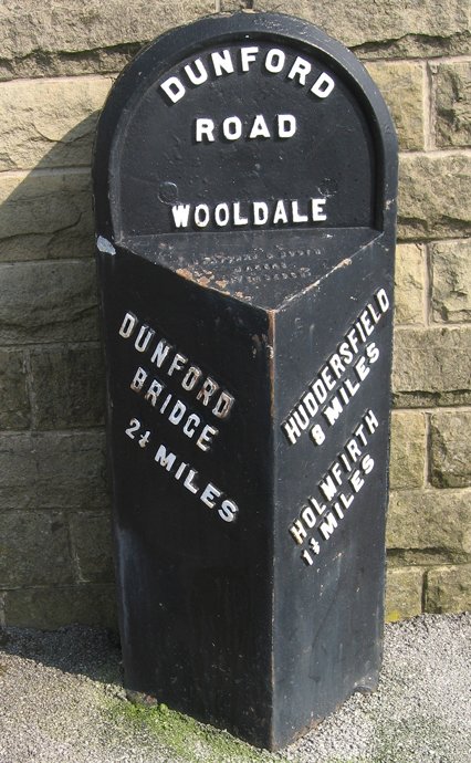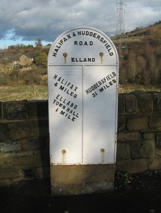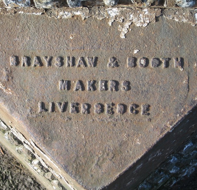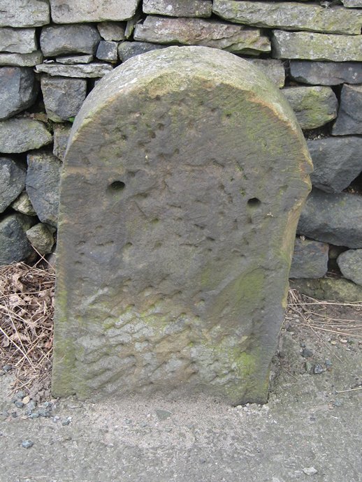
Terminology found on boundary stones, etc
 Borough: a self-governing town, created by royal charter. Boroughs had existed since Saxon times. Old Yorkshire boroughs were: Beverley (938), Doncaster (1194), Hedon (1154), Hull (1299), Pontefract (1194), Richmond (1154), Ripon (1605), Scarborough (1181) and York (1141) – dates are those of the first known charter, but some may actually be older. Population growth in the 19th century saw the creation of Municipal Boroughs (Municipal Corporations Act, 1835) and County Boroughs (Local Government Act, 1888).
Chapelry: in earlier times chapels were built in large parishes where the parish church was far away. In the 19th century huge numbers of new churches were built, again technically chapels, forming chapelries within existing parishes. Many of these had boundary stones. See separate article.
Corporation: the governing body of a Borough
County: the traditional division of the country. Counties, acting through the Justices in Quarter Sessions, had always had a supervisory role in local administration (eg issuing instructions to parish surveyors to erect guide-posts in the 18th century). They also had responsibilities for bridge maintenance on major roads. But County Councils, with greatly extended powers, only came into being with the Local Government Act of 1888.
Highway Districts, run by Highway Boards: although the concept was created by an Act of 1835 they became common only after 1862, as mergers of parishes for highway purposes. Later they started taking over turnpike roads as Turnpike Trusts became increasingly insolvent.
Hundred: division of a county – originally an area capable of providing 100 men in times of war; obsolete by mid 19th century. In Yorkshire these were called wapentakes: a Scandinavian term denoting the brandishing of weapons to signify assent at a public assembly, and hence to the meeting-place, and the territorial division of the county. Certain other counties had other names for them.
Liberty: a mediaeval unit, originally one in which rights reserved to the king had been devolved into private hands – finally abolished in 1888.
Local Board (of Health): created by Public Health Act 1848. Parishes and townships could adopt the Act at any time and re-create themselves as Urban Sanitary Districts (qv), controlled by a Local Board.
Parish: basic unit of local administration from time immemorial. Parishes were originally ecclesiastical but increasingly acquired responsibility for civil administration (eg highways in 1555). In the 19th century there began the separation of these functions: civil parishes became separate entities, and could become local boards (qv).
Rural (Sanitary) District: See Urban and Rural (Sanitary) District.
Township: in less well developed parts of the country parishes were often very large, and further sub-divided into townships (eg Halifax, having over 20). These had the same functions as single-village parishes. Some townships contained self-governing areas with various names, including: Constablewicks, Districts, Divisions, Hamlets and Quarters. Huddersfield Township, for example, had four hamlets (Bradley, Deighton, Fartown and Marsh); while Saddleworth was divided into Meres (Friar Mere, Lord’s Mere, Quick Mere and Shaw Mere), which were themselves further split into Divisions (Upper, Middle, Lower)
Urban and Rural (Sanitary) District: Urban Sanitary Districts, administered by Local Boards, were created in 1848, though only for parishes or townships which chose to adopt the Act. The Public Health Act of 1872 definitively parcelled out the whole of England and Wales into either urban or rural sanitary districts, and in 1894 these became simply Urban Districts or Rural Districts. Urban Districts were all individual parishes or townships, while Rural Districts were combinations of several (based on Poor Law Unions). Many Urban Districts were not especially urban in character (eg Holme and Scammonden), but had adopted the Act in order to avoid being merged with other townships for highway purposes: mutual suspicion was as current then as it is now.
Wapentake: see Hundred
Sources: adapted from a talk given by Richard Heywood at the Yorkshire Milestone Society meeting, April 2008. RWH / January 2012
Terminology found on boundary stones, etc Read More »
 The village of Marsden, on the edge of the Pennine moors in West Yorkshire, has two attractive packhorse bridges: one in the centre, by the church; the other a noted beauty spot at Eastergate, a mile or so up the River Colne.
 Some, like the Aire and Calder Navigation and the Don Navigation, were built to make the river system navigable. Others, like the Calder & Hebble Navigation (the first part of which opened in 1770) and the Leeds & Liverpool Canal (opened in 1816) were constructed to provide transport routes into the towns and across the Pennines.